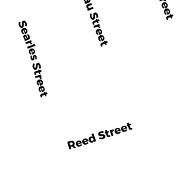
79 SEARLES ST
Owner Information
WILKINS DAVID W & SUZANNE M
79 SEARLES ST
CHICOPEE, MA 01020 2270


Property Details
79 SEARLES ST is classified as a Single Family Residential (Ranch).
The primary structure on this property was built in 1952. There are 2,439ft2 of built area within this property. There is 1,224ft2 of residential/living space within this property. This property is listed as having 7 rooms.
79 SEARLES ST is valued at $204,300. The land is valued at $78,100 and the structures are valued at $117,700. There is an additional valuation of $8,500 on this property.
The most recent deed for 79 SEARLES ST is recorded at the local registrar in Book R123, Page 22. 79 SEARLES ST was last sold on Friday, July 24, 1987 for $0.
Assessment data from fiscal year 2022.
Flood Data
According to the FEMA National Flood Hazard Layer, this property does not appear to be in a flood zone. It may also be in an area not yet reviewed. Nonetheless, confirm this information prior to taking any action.
To view the flood hazards around this property, create a FEMA "Firmette" Map of the area around 79 SEARLES ST.
Broadband Internet Providers
| Provider | Type | Bandwidth (mbps) | |
|---|---|---|---|
| HughesNet | Satellite | 25 | 3 |
| Viasat Inc | Satellite | 100 | 3 |
| VSAT Systems, LLC. | Satellite | 2 | 1 |
| Verizon New England Inc. | DSL | 3 | 0 |
| Charter Communications Inc | Cable | 940 | 35 |
| GCI Communication Corp. | Satellite | 0 | 0 |
| T-Mobile | Fixed Wireless | 25 | 3 |
Broadband service provider data from December 2020.
Adjacent Properties
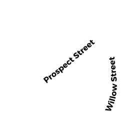
- 467 PROSPECT ST
Single Family Residential owned by POWERS SHIRLEY R - 92 BOURBEAU ST
Single Family Residential owned by SICARD WILLIAM J & - 73 SEARLES ST
Single Family Residential owned by GUSTAFSON SUSAN M - 461 PROSPECT ST
Single Family Residential owned by HEWITT JOHN M & - 84 BOURBEAU ST
Single Family Residential owned by DRAGON RICHARD M